F & Z Engineering Surveyors
Services
At F & Z Engineering Surveyors, we provide a comprehensive range of surveying solutions, from initial land development to complex infrastructure and utility modelling.
🏗️ Engineering & Construction Surveys
Infrastructure Projects: Full project management and surveying for large-scale civil works.
Construction Support: Engineering and construction surveys to support building workflow
Topographic Surveys: Detailed land surveys for development, architectural design, engineering, and landscaping projects.
Expert Consultation: Advice on land tenure and boundary-related matters.
📏 Land Development & Cadastral
Subdivision Services: Management of major subdivisions and land divisions.
Boundary Identification: Identification surveys and remarking of existing boundaries.
Lease & Tenancy: Lease surveys and Tenancy Area Surveys (BOMA or PCA standards).
Titling: Community titles and road opening/closing services.
Advisory: Expert advice on boundary-related matters.
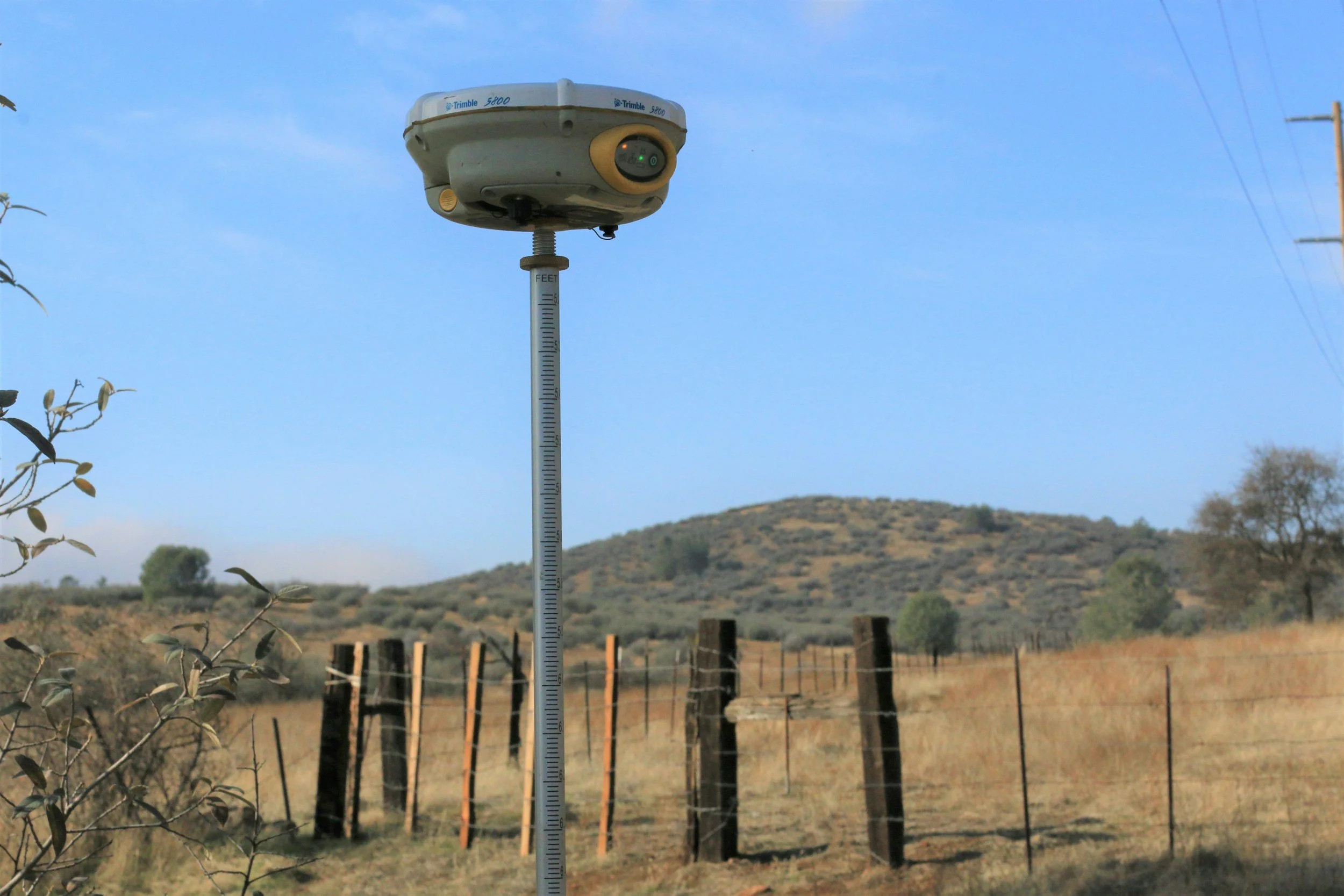
🚁 Aerial & Drone Surveying (LiDAR)
Drone Operations: Fully licensed UAV Piloting
LiDAR Technology: 3D LiDAR surveys conducted by drone and aircraft.
Visual Data: High-quality aerial photos and videos for site analysis.
Aerial Topography: Topographic surveys generated via aerial data capture.
🔌 Underground Utilities & Investigation
Investigation: Underground services investigation and utility surveys
On-Site Marking: Physical utility mark-ups on site.
Modelling & Design: Utility modelling and utility design services.
Risk Mitigation: Clash detection to identify conflicts before construction begins.
💻 Software & BIM
BIM Integration: Auto Desk Revit BIM (Building Information Modelling).
Drafting & Design: AutoCAD Drafting, Civil CAD, and 12D.
Data Processing: Terramodel Surveying Program and Pix4D for photogrammetry.
Setout: TP SETOUT for precise field positioning.
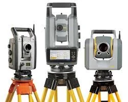
📡 Equipment
Robotic Total Stations: Trimble S6 (One Man Total Station) and Trimble 5600.
High-Precision Units: Leica 1101-1200 TCR series.
Additional Hardware: Topcon and Sokkia instrumentation.
✅ Qualifications & Safety
Licenses: CASA Pilot License, UAV Pilot License, and Chief Pilot status.
Safety Certifications: OH&S Green Card, Rail Track Safety Awareness, and Confined Spaces Certificate.
Education: Diploma of Surveying (S.I.T Sydney) and Civil Engineering Degree